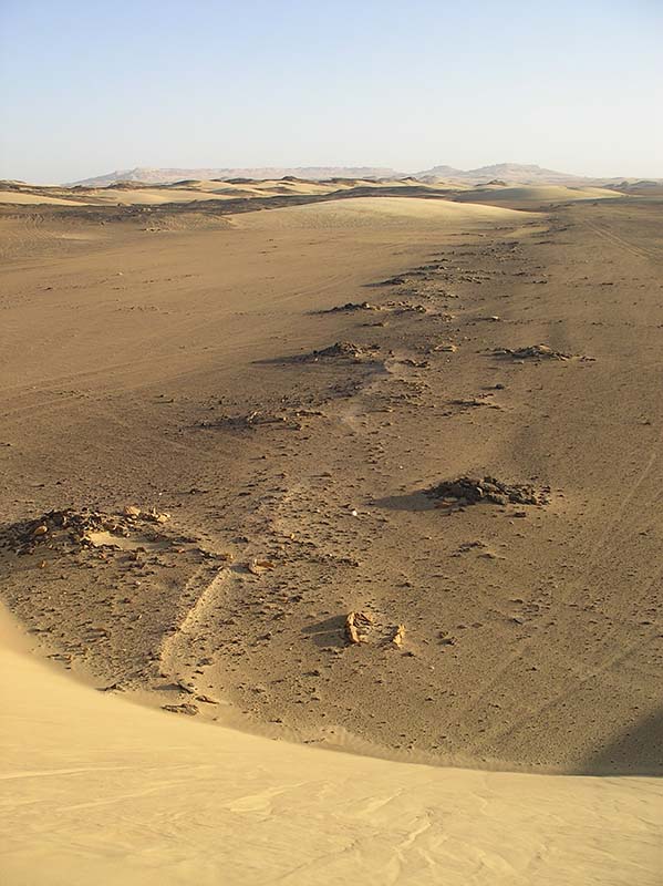
Qanawat and fields in nothern Kharga
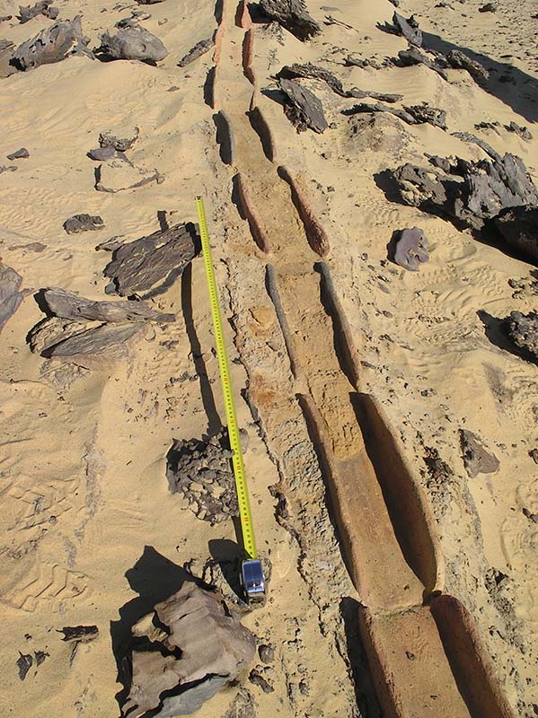
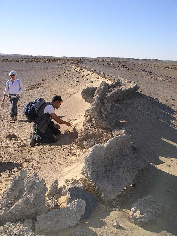
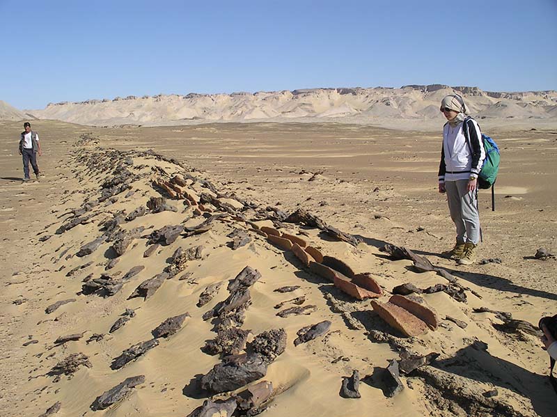
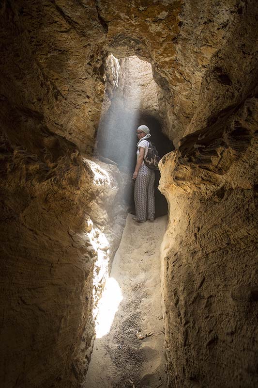
Irrigation systems based on qanawat in Northern Kharga can be found at Umm al-Dabadib, Ayn al-Labakha and Ayn Gib.
Their presence and overall layout have been published but several details and their relation to the landscape can only be fully appreciated if plotted on Google Earth.
This project presents here all the information collected so far on the three agricultural systems relying on qanawat located in northern Kharga.
Position and layout of the irrigation system
Map showing the agricultural system of Umm al-Dabadib (west), Ayn al Labakha (centre) and the Gib-Sumayra Complex (north-est), including subterranean aqueducts (dark blue), wells and open-air canals (light blue), ancient Roman fields (green) and outline of early XX century cultivations (bright pink).
Scholar
The Qanats of'Ayn Manawir (Kharga Oasis, Egypt)
L'Oasi di Farafra. Sistemi idrici a qanat e insediamenti di età romana e bizantina
Ancient Qanat System in Qasr Allam (Bahariya Oasis)
Egyptian and Greek water cultures and hydro-technologies in ancient times
Bookmarks
Contacts
Dipartimento di Architettura, Ingegneria delle Costruzioni e Ambiente Costruito